


South of Ensenada the four lanes end and Baja starts to feel like Baja. Highway 1 runs through Maneadero, climbs over the hills to the Santo Tomás wine valley, then rolls through a string of farm towns (San Vicente, Colonet, Camalú, Vicente Guerrero) on the way to San Quintín. Fuel is easy, but expect trucks, tractors and topes.
Route map
Map by Google. Google picks its own fastest line, which can differ from the road log. Open this route in Google Maps to navigate on your phone, and download it for offline use before you lose signal.
The mile log: Ensenada to San Quintín
The original Baja Road Log entries, updated for 2026. Miles count from the corner of Av. Sangines and Highway 1 in Ensenada. Km posts restart at 0 in Ensenada; the km column is estimated from the posts the booklet printed (km 150, km 171, km 178.3).
| Mile | Km post | What's there |
|---|---|---|
| 0.0 | ~km 11 | Turn right where Av. Sangines meets Highway 1 (Av. Reforma). Fuel on the corner. |
| 0.7 | ~km 12 | Fuel station on the right. |
| 1.2 | ~km 13 | Turnoff on Av. Las Palmas to Playa Hermosa for the Costa Mar Motel, Hotel Joya Mar and the clubhouse of Compañeros de Baja Norte, a local social and service club. |
| 1.8 | ~km 14 | Calimax supermarket and the General Hospital. |
| 2.8 | ~km 16 | Fuel station and a market. |
| 3.5 | ~km 17 | El Ciprés military camp, hospital and airport. |
| 4.7 | ~km 19 | Turnoff west on Calz. Morelos for Estero Beach Hotel & Resort and its folk art museum, Museo 40 Siglos de Cultura Mexicana. The same road leads to Monalisa Beach RV Park, Corona Beach RV park, Lighthouse Beach (El Faro Beach), a public beach with camping, and El Rey Sol Restaurant. |
| 6.8 | ~km 22 | Turnoff east to the Baja Country Club golf course. |
| 8.2 | ~km 24 | Fuel station as you enter Maneadero, a farm town in a wide valley. |
| 8.4 | ~km 25 | Junction with BCN 23 to Punta Banda and La Bufadora (see Side trips on the hub page). Highway 1 continues through Maneadero, with cafes, bakeries, auto repair and fuel with diesel, then narrows to two lanes. |
| 14.5 | km 31.5 | El Zorrillo and Las Cañadas Campamento, a water park and campground. |
| 14.7 | ~km 35 | A military checkpoint has long operated around here. Expect questions about where you are headed and sometimes a vehicle search. Have your FMM handy; you need it to go further south. |
| 20.6 | ~km 44 | Graded road to Ejido Uruapan, a village with small stores and natural hot springs about 2 miles off the highway. |
| 23.8 | ~km 49 | View over the Santo Tomás Valley, where Bodegas de Santo Tomás started making wine in 1888. |
| 24.6 | ~km 51 | Turnoff on a graded dirt road to La Bocana and Puerto Santo Tomás on the coast, about 16 miles and close to an hour. OK for sturdy passenger cars. |
| 24.7 | ~km 51 | Entrance to the Santo Tomás winery on the east side of the highway. |
| 26.5 | ~km 54 | Santo Tomás, with topes, grocery stores, auto repair and fuel (no diesel in the 2026 price reports). The adobe ruins of Misión de Santo Tomás de Aquino, founded in 1794, are in town. |
| 43.0 | ~km 80 | Turnoff to Ejido Eréndira and Puerto San Isidro on the Pacific: about 12 paved miles to Eréndira, a fishing and farming town with Motel Eréndira. Dirt roads continue north to Castro's Fishing Place and Coyote Cal's Beach Resort, a hostel. Four-wheel drive is a good idea past Punta Cabras. |
| 49.2 | ~km 90 | Turnoff to the protected adobe ruins of Misión San Vicente Ferrer, founded in 1780, on a 0.7-mile dirt road. |
| 49.9 | ~km 91 | San Vicente, a farm town with stores, cafes, auto repair and fuel with diesel. The Museo Comunitario near the plaza shows local Indian and mission artifacts and ranch history. |
| 72.4 | ~km 127 | Turnoff west on a graded dirt road to the beach at San Antonio del Mar (13 km). OK for passenger cars. |
| 72.5 | ~km 128 | Colonet, a farm town with cafes, stores and a llantera (tire shop). |
| 74.5 | ~km 131 | Turnoff to Cabo Colonet, a fishing camp. |
| 79.9 | ~km 140 | Fuel station. |
| 81.0 | ~km 141 | Junction at San Telmo de Abajo with the road into the mountains: Rancho Meling (about 32 miles) and the national observatory in Sierra de San Pedro Mártir National Park (about 60 miles, roughly 3 hours), near Picacho del Diablo, Baja's highest peak at over 10,000 feet. There are no services in the park. Go with a full tank, water and food. |
| 86.6 | km 150 | Graded road to Punta San Jacinto, a surf spot 3.5 miles off the highway, home to Baja Surf Adventures. OK for passenger cars. |
| 91.0 | ~km 157 | Camalú, with restaurants, stores, medical services and fuel with diesel. |
| 98.0 | km 171 | Turnoff east before the bridge in Poblado Chula Vista to the adobe ruins of Misión Santo Domingo, founded in 1775. The 4.5-mile dirt road is fine for cars, but its hairpins are hard on big RVs. Albercas La Misión Rancho Montes, with pools and camping, is a short walk from the ruins. |
| 99.9 | ~km 172 | Colonia Vicente Guerrero, a large farm town with motels, RV parks, cafes, shops, a hospital and fuel with diesel. |
| 101.1 | ~km 174 | Propane and the road to Posada Don Diego (RV park and restaurant). |
| 111.1 | ~km 190 | Fuel with diesel on the left; Hotel Uruapan on the right. |
| 111.6 | ~km 191 | Road on the left to Los Cirios. |
| 111.9 | ~km 191 | Hotel María Celeste and Motel Chávez, then the San Quintín bridge (Puente San Quintín), where Leg 4 starts. |
Two lines in the old booklet were pasted over and cannot be read; they are left out.
- Storm Rachel (around October 10 to 11, 2026): 65 homes were lost and 193 damaged in San Quintín, and a state senator said the Transpeninsular had been cut. As of October 22, 2026 we found no report of Highway 1 still closed between Ensenada and San Quintín, but we could not find an official all-clear either. Check before you go: road alerts from SICT and CAPUFE, ask at your hotel, or call 078 (24-hour tourist assistance). Never drive into moving water at an arroyo crossing.
- Two lanes and topes: four lanes end in Maneadero. Expect topes in Maneadero, Vicente Guerrero, Camalú and San Quintín, plus farm trucks and tractors. About 3.7 km of Highway 1 through San Quintín has been widened to four lanes with a median.
- Checkpoint: a military checkpoint is commonly reported south of Maneadero. Locations move.
- No tolls on Highway 1 south of Ensenada.
Fuel
Easy on this leg. Mexico's station registry lists stations in Maneadero (13), Santo Tomás (1, no diesel reported), San Vicente (2), Colonet (2, no diesel reported), Camalú (3), Vicente Guerrero (4) and San Quintín and Lázaro Cárdenas (8). Fill up in San Quintín either way: the next leg has the longest gap on the peninsula. Find stations on Google Maps: Maneadero, Camalú, Vicente Guerrero, San Quintín.
Where to stop and stay
Places below showed as operating on Google Maps when we checked on October 22, 2026, under the names they use now. Phone numbers and websites are the ones on their current listings. Call ahead before you count on a room or a campsite.
Tap a name to open it in Google Maps.
Ensenada, south of town
- Mision Baja: hotel. +52 646 176 6551
- Costa Mar Motel: motel. +52 686 560 7010 · Website
- Hotel Joya Mar: hotel. +52 646 176 7430
- Estero Beach Hotel & Resort: hotel.
- Monalisa Beach RV Park: motel. +52 646 177 5100
- Corona Beach Rv Park: RV park.
Maneadero
- Motel Los Arcos: motel. +52 646 154 0216
El Zorrillo
- Las Cañadas Campamento: campground, formerly Las Cañadas Balneario.
Eréndira and Puerto San Isidro
- Motel Erendira: motel. +52 646 154 4150
- Castros Fishings Place Pesca: restaurant. +52 646 116 2363 · Website
- Coyote Cal's Beach Resort, Baja Hostel: hotel. +52 646 154 4080 · Website
Colonet
- Rancho Meling Hotel: hotel. +52 646 255 8062
Camalú
- Baja Surf Adventures: villas.
Vicente Guerrero
- Hotel Ortiz: hotel. +52 616 166 2655 · Website
- Albercas La Mision Rancho Montes: RV park or campground, formerly La Misión Rancho Montes Campgrounds. +52 646 183 2763
- Posada Don Diego Restaurant y Bar: RV park or campground. +52 616 166 2181 · Website
San Quintín
- Hotel Uruapan: hotel. +52 616 165 2577
- Los Cirios: hotel. +52 616 165 3015
- Hotel MariaCeleste: hotel. +52 616 165 3999 · Website
- Motel Chavez: motel. +52 616 165 2005 · Website
- Hotel Real del Cora: lodging. +52 616 166 8576
- Old Mill Hotel: hotel. +52 616 165 6030 · Website
- Don Eddie's Landing Hotel & Bar & Lulu's Resturante: hotel. +52 616 165 6177
- Hotel Misión Santa Maria San Quintín: hotel, formerly Hotel La Pinta. +52 616 165 9008
- Cielito Lindo: hotel. +52 616 103 3169 · Website
New since the last booklet
- Hotel La Villa de San Quintín: hotel, San Quintín.
- Hotel Santa Isabel: hotel, San Quintín.
Other stops
- Lighthouse Beach (El Faro Beach): public beach with camping south of Ensenada, off Calz. Morelos. The old El Faro motel is closed.
What changed from the old booklet
| Mile | Change |
|---|---|
| 0.0 | Gigante supermarkets are gone (sold to Soriana in 2007). The 24-hour claim was dropped. |
| 0.7 | Gigante removed. |
| 1.2 | La Cueva de los Tigres restaurant is permanently closed. The club's old phone numbers and e-mail were removed. |
| 3.5 | Joker Hotel & RV Park is permanently closed. |
| 4.7 | Estero Beach's RV park is closed (the hotel is open). Blue Dolphin and Ku Ku motels could not be found, and Bugambilias was not confirmed here. El Faro Beach is now Lighthouse Beach; the old motel is closed. The Ciudad de los Niños details were removed (not found). |
| 6.8 | Golf chapter reference dropped. |
| 8.4 | Points to the hub's Side trips section. |
| 14.5 | Balneario Las Cañadas is now Las Cañadas Campamento. |
| 14.7 | The old FMT tourist visa is now the FMM. |
| 20.6 | Old fees, phone and tub details removed. The hot springs exist but no lodging was found. |
| 23.8 | Old winery tour phones and e-mail removed. |
| 26.0 | El Palomar water park removed (reviewers say it has been closed for years). |
| 26.5 | El Palomar restaurant, motel and RV park dropped from the log. |
| 43.0 | Malibu Beach Sur RV Park is permanently closed. Coyote Cal's Hostel is now Coyote Cal's Beach Resort. |
| 49.9 | Museum name updated. |
| 69.9 | Hotel Sonora could not be found and was removed. |
| 79.9 | Diesel not confirmed in the 2026 price reports around Colonet. |
| 81.0 | Los Manzanos Resort could not be found. Observatory hours and contacts were not confirmed and were removed. |
| 86.6 | Parador Turístico campground could not be found. |
| 97.5 | Baja Cafe could not be found and was removed. |
| 98.0 | Rancho Montes campground renamed. The August fiesta date was dropped. |
| 99.9 | Orphanage donation details with old phones and e-mails removed. Foundation for His Ministry and Welcome Home Outreach Ministries still operate in town. |
| 101.1 | Mesón de Don Pepe RV park could not be found. |
| 104.0 | The state tourism office and rest stop at km 178.3 could not be confirmed for 2026 and were removed. |
| 111.1 | Motel Uruapan is now Hotel Uruapan. The 24-hour claim was dropped. |
| 111.6 | Mueblería La Cuatita could not be found. |
| 111.9 | Motel names updated. |
Related guides
- San Diego to Ensenada road trip (and La Bufadora)
- Military checkpoints in Mexico
- Gas stations in Baja
- Mexican fishing license (San Quintín bay)
- The Baja Road Log: all 12 legs
Mexican auto insurance is required on Highway 1. Get a quote online in minutes and pick the exact days you will be in Mexico.
Frequently asked questions
How far is Ensenada from San Quintín?
About 115 miles (185 km) on Highway 1, or 2.5 to 3.5 hours. Farm traffic and topes in the towns slow you down.
Is there gas between Ensenada and San Quintín?
Yes. There are stations every 15 to 40 km: Maneadero, Santo Tomás, San Vicente, Colonet, Camalú, Vicente Guerrero and San Quintín. Santo Tomás and Colonet did not report diesel in October 2026.
Is Highway 1 two lanes south of Ensenada?
Mostly. Four lanes end in Maneadero. The road through San Quintín has been widened to four lanes with a median for about 3.7 km.
Is there a military checkpoint south of Ensenada?
One is commonly reported south of Maneadero, though locations change. Expect a few questions and sometimes a search. Be polite and have your FMM and insurance papers ready.
Photo credits
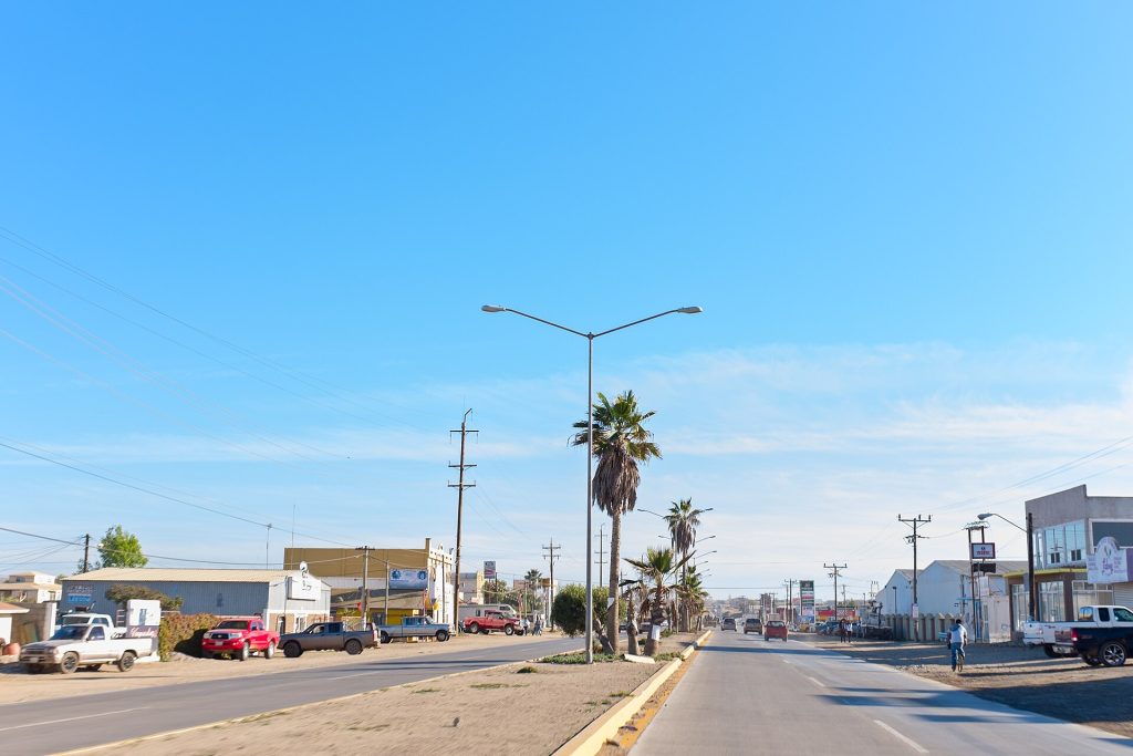
- Highway 1 (Lazaro Cardenas) about 1 km south of Camalu, San Quintin valley. Photo: Ll1324, CC0, via Wikimedia Commons
- View of Vicente Guerrero in the San Quintin agricultural valley on Hwy 1. Photo: Ll1324, CC0, via Wikimedia Commons
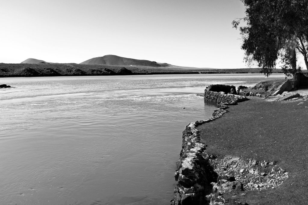
- Bahia de San Quintin, the bay west of Hwy 1 at San Quintin. Photo: Ll1324, CC0, via Wikimedia Commons
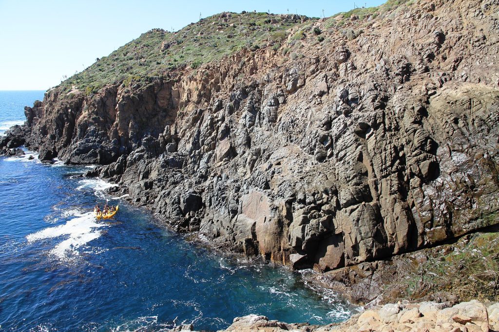
- La Bufadora marine blowhole on the Punta Banda peninsula, a side trip from Maneadero. Photo: panza.rayada, CC BY-SA 3.0, via Wikimedia Commons
Checked October 22, 2026 against CAPUFE's 2026 toll schedule, the CRE/CNE fuel station registry, OpenStreetMap routing and Google Maps listings. Businesses open, close and change hands; confirm before you go.