

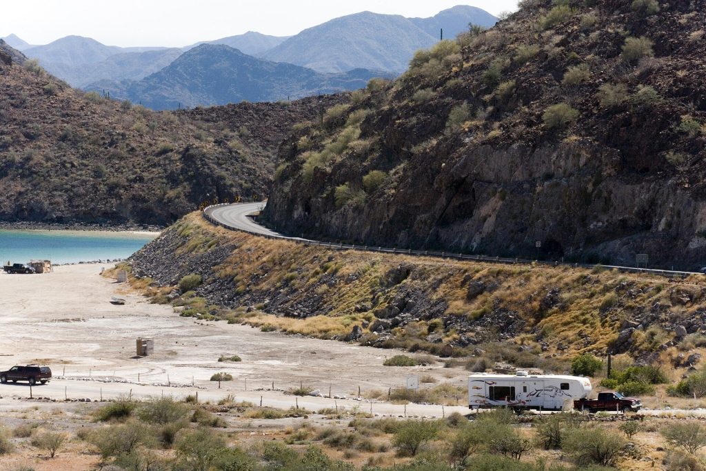
For about 20 miles south of Mulegé, Highway 1 runs right along Bahía Concepción: white sand coves, palapas and calm green water, one beach after another. Then the road turns inland under the Sierra de la Giganta and runs down to Loreto. Fill up in Mulegé; there is nothing on the bay.
- A landslide at about km 88+500 and debris at about km 92+500, south of Bahía Concepción, were reported after Hurricane Polo on September 28 to 29, 2026.
- We found no official update on this stretch newer than mid-October as of October 22. Arroyo dips here flood after storms.
- Check before you go: road alerts from SICT and CAPUFE, ask at your hotel, or call 078 (24-hour tourist assistance). Never drive into moving water at an arroyo crossing.
Route map
Map by Google. Google picks its own fastest line, which can differ from the road log. Open this route in Google Maps to navigate on your phone, and download it for offline use before you lose signal.
The mile log: Mulegé to Loreto
The original Baja Road Log entries, updated for 2026. Miles count from the Mulegé junction on Highway 1. Km posts count down from about km 135 here to km 0 at Loreto; the km column is estimated from the posts the booklet printed (km 111, km 93.5).
| Mile | Km post | What's there |
|---|---|---|
| 0.0 | ~km 135 | Mulegé junction with Highway 1. |
| 0.3 | ~km 135 | Bridge over the Río Mulegé. |
| 0.8 | ~km 134 | Road on the left to Misión Santa Rosalía de Mulegé. |
| 1.1 | ~km 133 | Turnoff to Orchard Vacation Village along the river. |
| 1.7 | ~km 132 | Entrance to Cuesta Real Hotel. |
| 1.9 | ~km 132 | Turnoff to Villa María Isabel RV Park & Campsites on the river. |
| 3.1 | ~km 130 | Fuel station with diesel. Last fuel until Loreto, 81 miles (130 km). |
| 9.0 | ~km 121 | Turnoff to Villas de Mulegé, a housing development on Bahía Concepción. |
| 10.3 | ~km 118 | Dirt road to Playa Punta Arena, with simple campsites. |
| 12.5 | ~km 115 | First view of Bahía Concepción: white sand beaches, palapas and islands in green-blue water. For the next 20 miles the highway follows the west shore of the bay, where beach camping is allowed, usually for a small fee. |
| 13.0 | ~km 114 | Playa Santispac, a public beach with restaurants and palapa campsites. |
| 14.3 | ~km 112 | Posada Concepción, with a trailer park mostly for long-term residents. |
| 14.4 | km 111 | Turnoff to Playa La Escondida, with palapa campsites. |
| 14.9 | ~km 111 | Playa Los Cocos, with palapa campsites. |
| 16.2 | ~km 109 | Playa El Burro, with a restaurant and palapa campsites. An arroyo with ancient petroglyphs is across the highway. |
| 17.1 | ~km 107 | Turnoff to Playa El Coyote, with a restaurant and palapa campsites. |
| 25.0 | km 93.5 | Playa Buenaventura. |
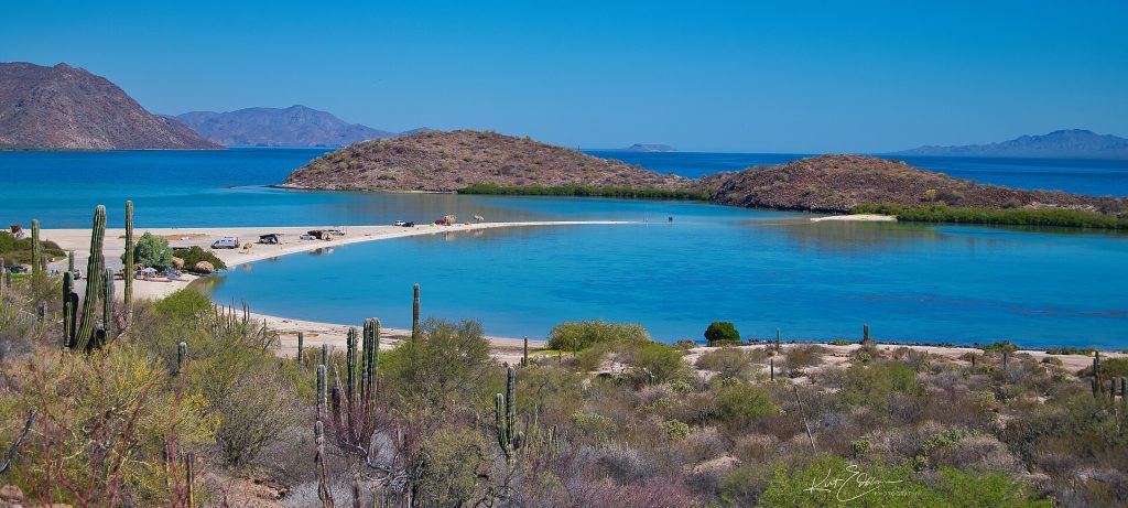
| 26.0 | ~km 93 | Turnoff to Playa El Requesón, where a sandspit runs out to a small island. Palapas for dry camping. |
| 26.4 | ~km 93 | Around km 92+500: Hurricane Polo left debris on the road here in September 2026. Check status. |
| 26.6 | ~km 92 | Viewpoint for the painted rock design (a geoglyph) on Cerro de la Mano del Gigante, made by Ensenada artist Francisco Hernández Zamora in 1997. |
| 27.2 | ~km 91 | Playa Armenta, a public beach with a few palapa campsites. |
| 28.9 | ~km 88 | Around km 88+500: site of a Hurricane Polo landslide (September 2026). Check status. |
| 45.3 | ~km 62 | View of the Sierra de la Giganta, named for a race of giant women the early Spanish explorers believed lived here. The range is full of cave paintings, but the terrain is rugged and flash floods are a real danger: go with a local guide from Mulegé or Loreto. |
| 45.8 | ~km 61 | Turnoff west on a dirt road through the Sierra de la Giganta to San Isidro. |
| 50.6 | ~km 54 | A fine view of the Sierra de la Giganta as the highway skirts its base. |
| 76.6 | ~km 12 | Dangerous curve and sharp dip. |
| 78.1 | ~km 9 | View of Loreto and Isla del Carmen. |
| 81.7 | ~km 4 | Turnoff on a paved road into Loreto. |
Two entries were added for the 2026 storm damage. Their miles are estimated from the km posts in the reports. Beach camping fees and facilities change; ask on arrival.
- Fuel: 81 miles (130 km) from Mulegé to Loreto with no station, and none on Bahía Concepción.
- Storm damage: see the Hurricane Polo box above.
- Road: curves along the bay and arroyo dips further south. Signal is patchy on the bay; plan as if you will have none.
- Camping: most Bahía Concepción beaches charge a small daily fee. Bring water.
Fuel
Mulegé (2 stations, one reporting diesel) and Loreto (5), from Mexico's fuel registry. Nothing in between. Find stations on Google Maps: Loreto.
Where to stop and stay
Places below showed as operating on Google Maps when we checked on October 22, 2026, under the names they use now. Phone numbers and websites are the ones on their current listings. Call ahead before you count on a room or a campsite.
Tap a name to open it in Google Maps.
Bahía Concepción
- Playa Santispac: campground.
- Posada Concepción: RV park or campground. +52 615 688 0030
- Playa La Escondida: RV park or campground.
- Playa Los Cocos: RV park or campground.
- Playa El Burro: RV park or campground. +52 615 107 2086 · Website
- Playa el Coyote: RV park or campground.
- Playa el Requeson: RV park or campground.
- Playa Armenta: RV park or campground.
Loreto and Nopoló
- Hotel Salvatierra: hotel. +52 613 135 0021
- Hotel Plaza Loreto: hotel. +52 613 135 1731 · Website
- Posada De Las Flores Loreto: hotel. +52 613 135 1162 · Website
- Hotel y R.V. Park “EL Moro”: hotel. +52 613 135 0542 · Website
- SuKasa Hotel: hotel. +52 613 135 0490 · Website
- Hotel Oasis: hotel. +52 613 135 0211 · Website
- Loreto Shores Villas And R.v. Park: RV park. +52 613 135 1513 · Website
New since the last booklet
- Hotel Santa Fe Loreto by Villa Group: hotel, Loreto.
- Hacienda Suites Loreto: hotel, Loreto.
- Hotel Loreto Palmar: hotel, Loreto.
- Rivera del Mar RV Park: RV park, Loreto.
What changed from the old booklet
| Mile | Change |
|---|---|
| 1.1 | Now listed as Orchard Vacation Village. |
| 1.7 | Name updated. |
| 1.9 | Name updated. |
| 2.5 | Hotel Serenidad is listed as temporarily closed; removed. |
| 3.1 | Pemex renamed to fuel station; gap added. |
| 12.5 | Description shortened. |
| 14.4 | EcoMundo could not be found and was removed. |
| 25.0 | Resort Hotel San Buenaventura and George's Olé RV park are permanently closed. |
| 26.4 | Added: 2026 storm damage. |
| 28.9 | Added: 2026 storm damage. |
Related guides
- Taking an RV to Mexico
- Mexican fishing license
- Towing a trailer or boat to Mexico
- Gas stations in Baja
- The Baja Road Log: all 12 legs
Mexican auto insurance is required on Highway 1, including for RVs and trailers. Get a quote online in minutes.
Frequently asked questions
Is there gas between Mulegé and Loreto?
No. It is about 81 miles (130 km) with no fuel station, and none on Bahía Concepción. Fill up in Mulegé.
Can you camp at Bahía Concepción?
Yes. Beaches such as Santispac, Los Cocos, El Burro, El Coyote, El Requesón and Armenta have palapa campsites, usually for a small daily fee. Facilities are basic; bring water.
How long is the drive from Mulegé to Loreto?
About 83 miles (134 km), or 1.5 to 2 hours without stops. Allow extra time in late 2026 for storm repairs south of the bay.
Photo credits
- Playa Santispac on Bahia Concepcion, right beside Hwy 1. Photo: Comisión Mexicana de Filmaciones from México D. F., México, CC BY-SA 2.0, via Wikimedia Commons
- Playa El Requeson sandbar on Bahia Concepcion. Photo: Kirt Edblom from Corvallis, Oregon, United States, CC BY-SA 2.0, via Wikimedia Commons
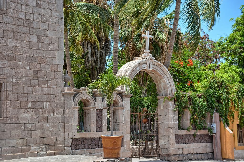
- Mision de Nuestra Senora de Loreto, founded 1697. Photo: Kirt Edblom from Corvallis, Oregon, United States, CC BY-SA 2.0, via Wikimedia Commons
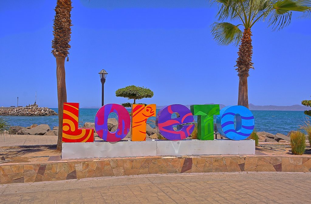
- Loreto sign on the malecon near the harbor. Photo: Kirt Edblom from Corvallis, Oregon, United States, CC BY-SA 2.0, via Wikimedia Commons
Checked October 22, 2026 against CAPUFE's 2026 toll schedule, the CRE/CNE fuel station registry, OpenStreetMap routing and Google Maps listings. Businesses open, close and change hands; confirm before you go.