

A short coastal run from Santa Rosalía past San Lucas Cove to the river oasis of Mulegé. In a normal year it is one of the easy legs. In 2026 it is the one to check first: Hurricane Polo cut the highway here at the end of September.
- An arroyo flood cut Highway 1 at km 157 between Santa Rosalía and Mulegé on September 29, 2026. Local reports said traffic was moving again that night (Zeta, Sept. 29).
- At Palo Verde (around km 150) traffic runs on a provisional earth fill while SICT designs a permanent fix (Meganoticias, Oct. 12). We found no newer official update as of October 22.
- Check before you go: road alerts from SICT and CAPUFE, ask at your hotel, or call 078 (24-hour tourist assistance). Never drive into moving water at an arroyo crossing.
Route map
Map by Google. Google picks its own fastest line, which can differ from the road log. Open this route in Google Maps to navigate on your phone, and download it for offline use before you lose signal.
The mile log: Santa Rosalía to Mulegé
The original Baja Road Log entries, updated for 2026. Miles count from the Highway 1 junction in Santa Rosalía. Km posts restart at about km 195 here and count down toward Loreto; the km column is estimated from those posts.
| Mile | Km post | What's there |
|---|---|---|
| 0.0 | ~km 195 | Leave town at the Highway 1 junction, past the ferry dock and terminal, a fuel station with diesel and Hotel Sol y Mar. |
| 1.3 | ~km 193 | Entrance to Hotel El Morro. |
| 4.7 | ~km 187 | State prison. Do not stop. |
| 5.3 | ~km 186 | Turnoff to Rancho Agueda, 8 miles down a bumpy dirt road to a farming village with the spring that supplies Santa Rosalía's water. |
| 9.4 | ~km 180 | Turnoff to San Lucas Cove RV Park on palm-lined San Lucas Cove, known for its fishing. |
| 14.6 | ~km 172 | San Bruno, a fishing village. The island offshore is Isla San Marcos, known for its gypsum mine. |
| 16.4 | ~km 169 | Turnoff on a graded dirt road to San José de Magdalena (14 km), an oasis village known for citrus, vegetables and Mulegé's garlic, sold in long braids. OK for sturdy cars; high clearance beyond the village. |
| 23.6 | ~km 157 | Around km 157: the arroyo crossing where Hurricane Polo's flood closed Highway 1 on September 29, 2026. Check status before you go. |
| 24.3 | ~km 156 | Junction with a 12-mile graded road to Punta Chivato on Bahía de Santa Inés, OK for cars: beaches, windsurfing, kayaking and fishing. |
| 28.0 | ~km 150 | Around km 150: the Palo Verde crossing, on a temporary fill since the storm (as of October 12, 2026). Slow down. |
Two entries were added for the 2026 storm damage. Their miles are estimated from the km posts in the reports.
- Road status: see the Hurricane Polo box above. This is the leg most likely to have detours or delays in late 2026.
- Fuel: fill up in Mulegé. The next station south is Loreto, 81 miles (130 km) away, with nothing on Bahía Concepción.
- Diesel: Mulegé has two stations, and only one reported diesel prices in October 2026.
Fuel
Santa Rosalía has five stations and Mulegé two (only one reporting diesel), from Mexico's fuel registry. Top up in Mulegé before Bahía Concepción. Find stations on Google Maps: Mulegé.
Where to stop and stay
Places below showed as operating on Google Maps when we checked on October 22, 2026, under the names they use now. Phone numbers and websites are the ones on their current listings. Call ahead before you count on a room or a campsite.
Tap a name to open it in Google Maps.
Mulegé
- Hotel Mulegé: hotel. +52 615 153 0090
- Histórico Las Casitas: hotel. +52 615 153 0019
- Hotel Hacienda Mulegé: hotel. +52 615 153 0021 · Website
- Hotel Terrazas: hotel. +52 646 109 3779
- Orchard Vacation Village: lodging.
- Cuesta Real Hotel: hotel. +52 615 107 1665 · Website
- Villa Maria Isabel RV Park & Campsites: RV park or campground. +52 615 116 9663
New since the last booklet
- Huerta Don Chano RV Park: campground and RV park, Mulegé.
- Indie Park Mulegé: hotel, Mulegé.
What changed from the old booklet
| Mile | Change |
|---|---|
| 0.0 | 24-hour claim dropped. |
| 2.4 | Las Palmas RV Park could not be found. |
| 9.2 | Camacho Beach RV Camp could not be found. |
| 9.4 | Now listed as San Lucas Cove RV Park. |
| 14.6 | Bus stop, store and permanent-only RV park not confirmed; dropped. |
| 16.4 | Garlic festival date dropped. |
| 20.5 | Airport entry struck by Hal on the re-drive; the nearby airstrip is listed as temporarily closed. |
| 23.6 | Added: 2026 storm damage. |
| 24.3 | The hotel at Punta Chivato is permanently closed. Golf note dropped. |
| 28.0 | Added: 2026 storm damage. |
Related guides
- Mexican fishing license
- Gas stations in Baja
- Green Angels roadside assistance
- The Baja Road Log: all 12 legs
Mexican auto insurance is required on Highway 1. Get a quote online in minutes and pick the exact days you will be in Mexico.
Frequently asked questions
Is Highway 1 open near Mulegé after Hurricane Polo?
Hurricane Polo closed the road at km 157 on September 29, 2026. As of October 12, traffic was using a temporary fill at Palo Verde (around km 150) while a permanent structure was designed. Check the latest road reports before you drive.
How far is Santa Rosalía from Mulegé?
About 39 miles (63 km), or 45 minutes to an hour in normal conditions.
Where is the last gas before Loreto?
Mulegé. From there it is about 81 miles (130 km) to Loreto with no station on Bahía Concepción.
Photo credits
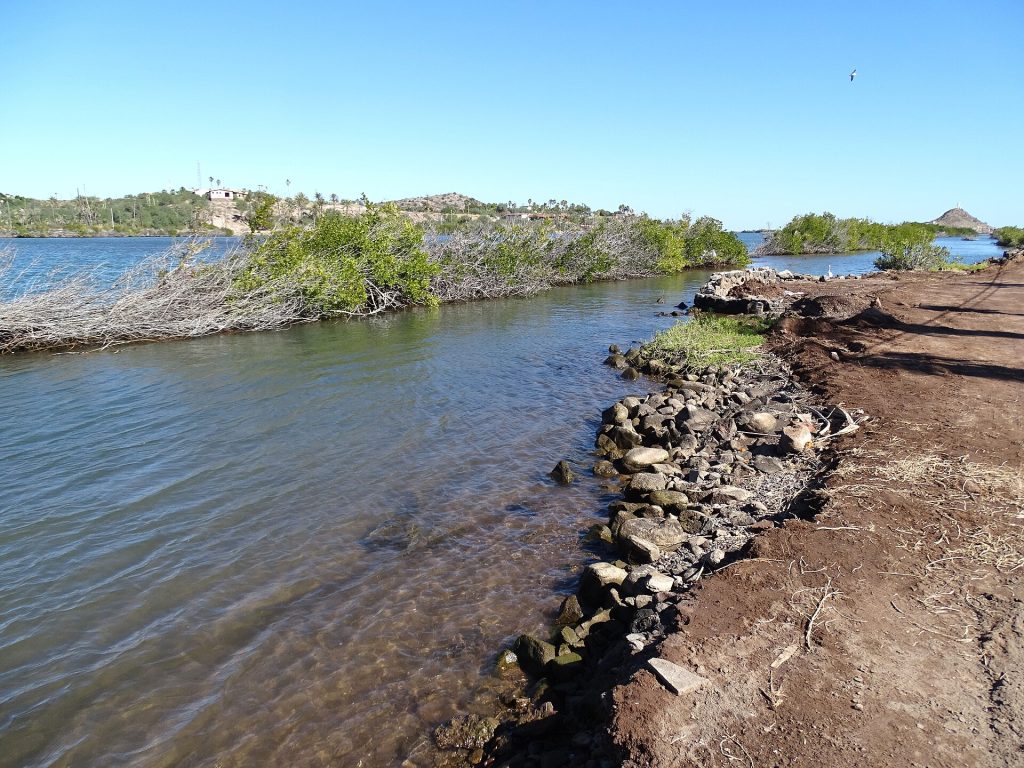
- The palm-lined Mulege river estuary. Photo: Adam Jones from Kelowna, BC, Canada, CC BY-SA 2.0, via Wikimedia Commons
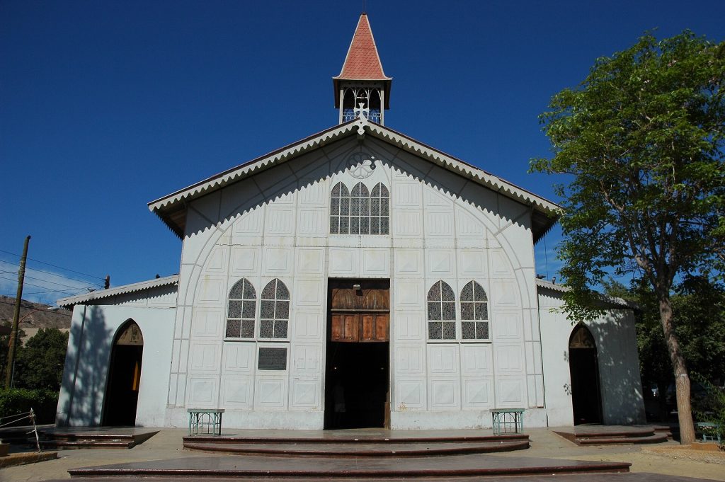
- Iglesia de Santa Barbara, the prefabricated iron church in Santa Rosalia. Photo: Wonderlane from Seattle, USA, CC BY 2.0, via Wikimedia Commons
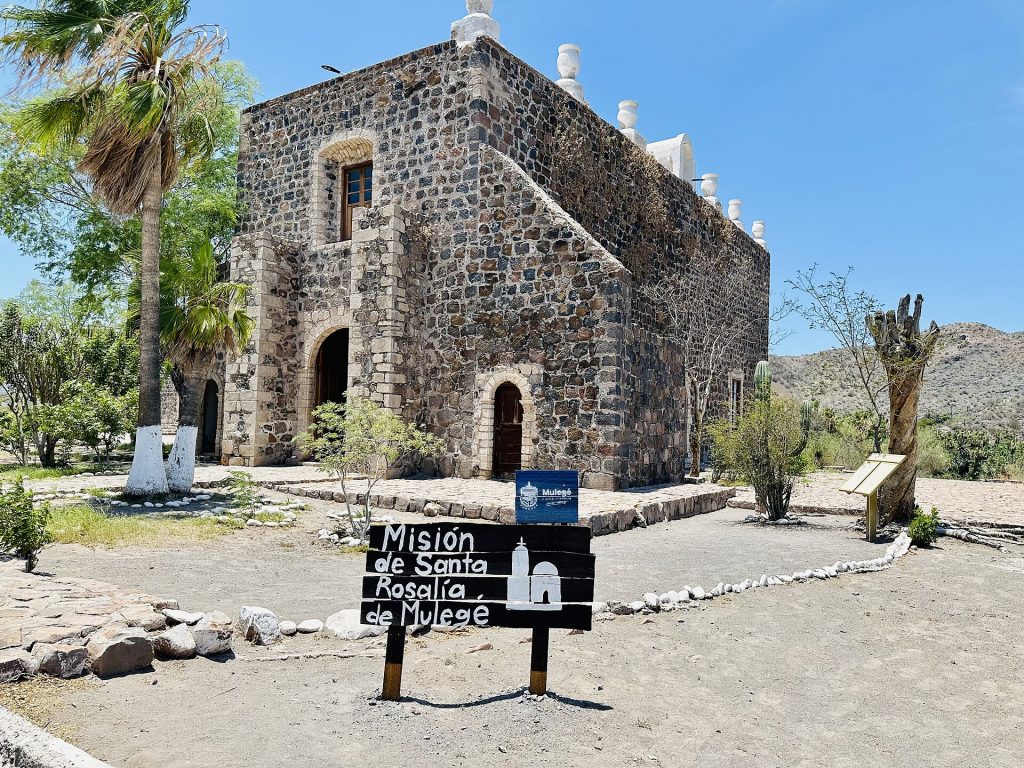
- Front of Mision Santa Rosalia de Mulege above the river oasis. Photo: Paunina.v, CC0, via Wikimedia Commons
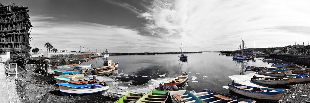
- Panorama of the Santa Rosalia waterfront and old mining works. Photo: Gregg M. Erickson (Farwestern Photo), CC BY 3.0, via Wikimedia Commons
Checked October 22, 2026 against CAPUFE's 2026 toll schedule, the CRE/CNE fuel station registry, OpenStreetMap routing and Google Maps listings. Businesses open, close and change hands; confirm before you go.