

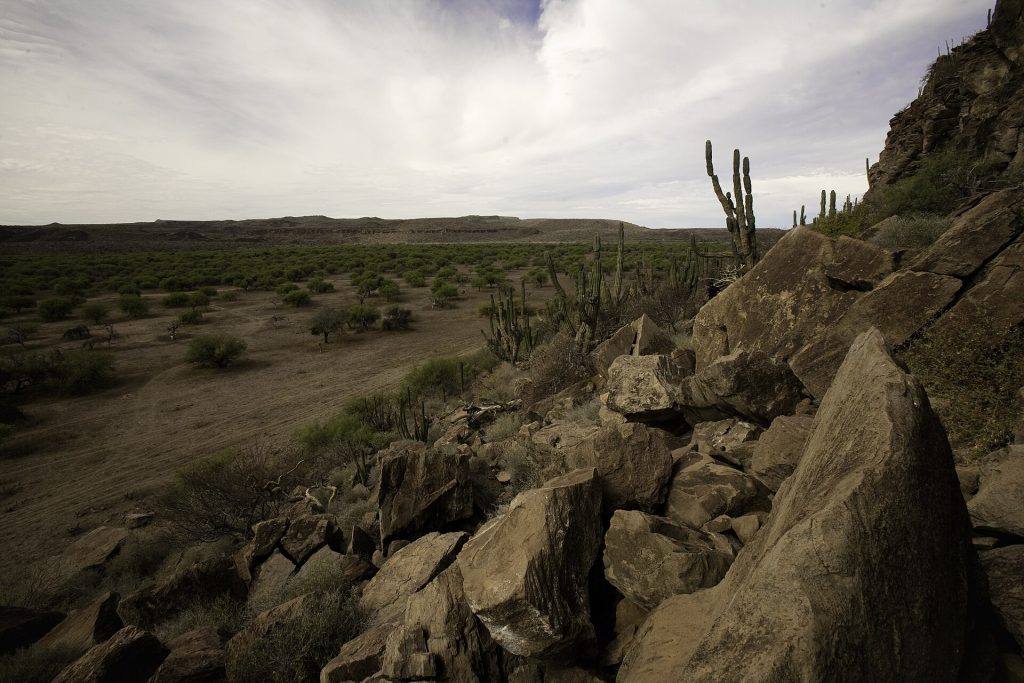
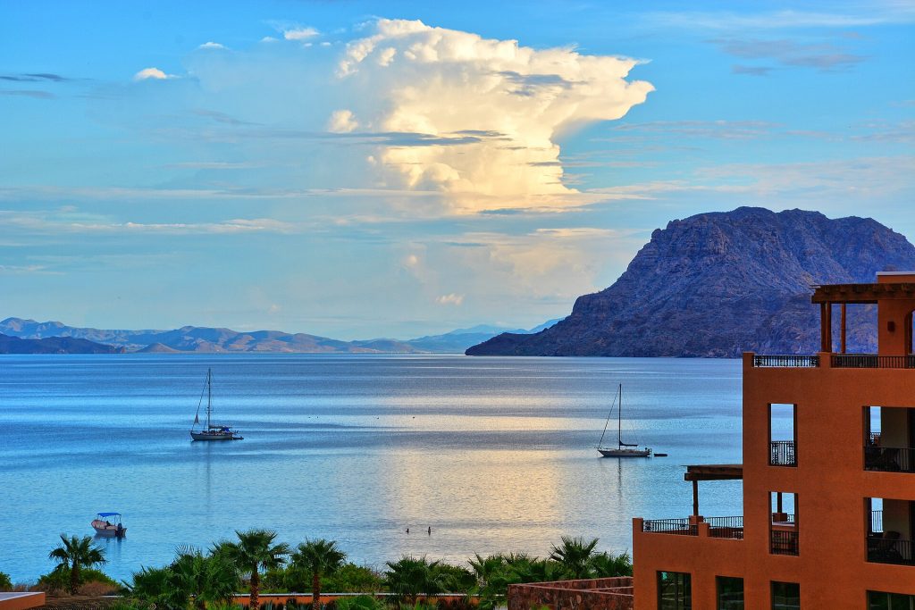
The coast south of Loreto is one of the loveliest bits of Highway 1, with islands offshore and the bay at Puerto Escondido. Then the road climbs a set of switchbacks over the Sierra de la Giganta and drops onto the long, flat Magdalena Plain, all farms and straight road to Ciudad Constitución.
- Landslide at about km 100+500 and debris at about km 102, between Loreto and Ciudad Insurgentes. Work was still going on near km 100 in the latest report we found (Meganoticias, Oct. 12).
- The 25 km stretch between Ciudad Insurgentes and Ciudad Constitución was being rebuilt (85% done as of mid-October). Expect work zones.
- We found no newer official update as of October 22. Check before you go: road alerts from SICT and CAPUFE, ask at your hotel, or call 078 (24-hour tourist assistance). Never drive into moving water at an arroyo crossing.
Route map
Map by Google. Google picks its own fastest line, which can differ from the road log. Open this route in Google Maps to navigate on your phone, and download it for offline use before you lose signal.
The mile log: Loreto to Ciudad Constitución
The original Baja Road Log entries, updated for 2026. Miles count from the Loreto junction. Km posts count down from about km 119 at Loreto to 0 at Ciudad Insurgentes, then restart at about km 237; the km column is estimated from those posts.
| Mile | Km post | What's there |
|---|---|---|
| 0.0 | ~km 119 | Leave the Loreto junction. |
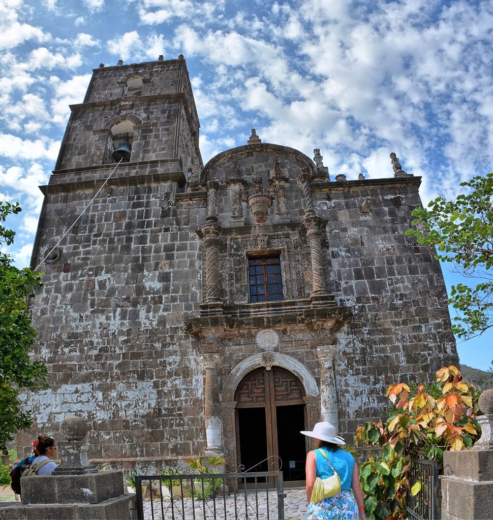
| 1.2 | ~km 117 | Turnoff west to Misión San Francisco Javier (35 km), one of the best-preserved missions in Baja, founded in 1699 and finished in 1758. The drive takes about 1.25 hours, fine for sturdy cars outside the rainy season, but the hairpins are no place for a big RV. |
| 1.7 | ~km 116 | Paved road to Loreto International Airport. |
| 5.0 | ~km 111 | Junction with the paved road to Nopoló and Hotel Loreto Bay Golf Resort & Spa. |
| 10.2 | ~km 103 | Playa Notri, a public beach. |
| 10.6 | ~km 102 | Around km 102: debris from Hurricane Polo (September 2026). Check status. |
| 11.5 | ~km 100 | Around km 100+500: Hurricane Polo landslide; repairs were still under way on October 12, 2026. |
| 11.9 | ~km 100 | Wide pullout on the east side with a view of Isla del Carmen and the other islands. |
| 13.4 | ~km 97 | Turnoff to Juncalito, a small fishing village with a public beach. |
| 15.2 | ~km 95 | Junction with the paved road to Hotel Tripui (with an RV park) and Puerto Escondido, a nearly landlocked bay with a marina and boat ramp. |
| 21.2 | ~km 85 | Rancho Ligui. From here the highway climbs five miles of switchbacks into the Sierra de la Giganta. |
| 32.1 | ~km 67 | Ricardo "Chato" Covarrubias memorial rest stop. |
| 33.7 | ~km 65 | Turnoff on a dirt road to Bahía Agua Verde (41 km) on the Sea of Cortez. |
| 36.3 | ~km 61 | Pullout on the east side. Look for cardón cactus, mesquite and green-barked palo verde. |
| 45.4 | ~km 46 | The highway follows the north side of the wide Arroyo Huatamote down to the flat Magdalena Plain. |
| 72.0 | ~km 237 | Junction with the paved road one mile north to Ciudad Insurgentes, a farm town with a bank, auto parts and cafes, and the first fuel since Loreto. A 22-mile road runs west to Puerto López Mateos on Magdalena Bay. Km posts restart here. |
| 86.2 | ~km 214 | Fuel station with diesel. |
| 86.7 | ~km 213 | Ciudad Constitución airport. |
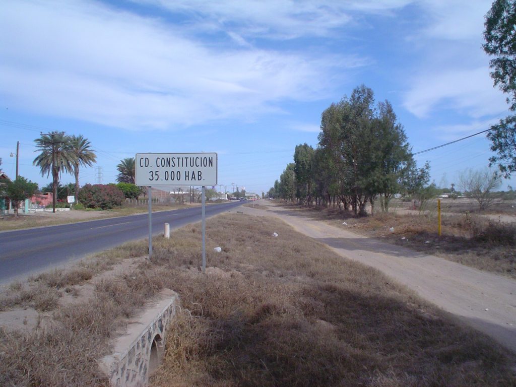
| 87.7 | ~km 212 | Enter Ciudad Constitución at the junction with Highway 22 west to Puerto San Carlos (34 miles), a port on Magdalena Bay, one of the gray whales' breeding lagoons. |
Two entries were added for the 2026 storm damage. Their miles are estimated from the km posts in the reports.
- Fuel: 73 miles (118 km) from Loreto to Ciudad Insurgentes with no station, over the mountains.
- Mountain road: five miles of switchbacks above Rancho Ligui. Use a low gear downhill and watch for trucks.
- Storm damage and road work: see the box above.
- Whales: Magdalena Bay (Puerto López Mateos and Puerto San Carlos) is a gray whale lagoon in winter.
Fuel
Loreto (5 stations), then none until Ciudad Insurgentes (3) and Ciudad Constitución (16), from Mexico's fuel registry. Find stations on Google Maps: Ciudad Insurgentes, Ciudad Constitución.
Where to stop and stay
Places below showed as operating on Google Maps when we checked on October 22, 2026, under the names they use now. Phone numbers and websites are the ones on their current listings. Call ahead before you count on a room or a campsite.
Tap a name to open it in Google Maps.
Puerto Escondido
- Hotel Tripui: hotel. +52 613 133 0818
Ciudad Constitución
- Hotel El Conquistador: hotel. +52 613 132 1443
- Hotel Conchita: hotel. +52 613 132 0266 · Website
- RV & Club Campestre La Pila: campground. +52 613 122 0365 · Website
Puerto San Carlos (Magdalena Bay)
- Hotel Brennan: hotel. +52 613 109 7074 · Website
- Hotel Alcatraz: hotel. +52 612 107 2451 · Website
New since the last booklet
- Villa del Palmar at the Islands of Loreto: resort on Danzante Bay, south of Loreto.
- Misiones RV Park: RV park, Ciudad Constitución.
- María de Nadie Hotel Boutique: hotel, Ciudad Constitución.
- Hotel Oasis: hotel, Ciudad Constitución.
- Hotel Paraíso del Valle: hotel, Ciudad Constitución.
- Cuatro Misiones Hotel: hotel, Ciudad Constitución.
What changed from the old booklet
| Mile | Change |
|---|---|
| 1.2 | Side trips reference dropped. |
| 5.0 | The Solare / Desert Sun name is gone; the resort site now runs as Hotel Loreto Bay. Golf and tennis details dropped. |
| 10.6 | Added: 2026 storm damage. |
| 11.5 | Added: 2026 storm damage. |
| 15.2 | Tripui RV Park and Resort now listed as Hotel Tripui. |
| 72.0 | Fuel note added. |
| 86.2 | 24-hour and hot-shower claims dropped. |
| 87.2 | Manfred's Trailer Park & Motel could not be found (Hal also blacked out its name). |
| 87.7 | San Carlos now named Puerto San Carlos. |
Related guides
- Gas stations in Baja
- Green Angels roadside assistance
- Mexican fishing license
- The Baja Road Log: all 12 legs
Mexican auto insurance is required on Highway 1. Get a quote online in minutes and pick the exact days you will be in Mexico.
Frequently asked questions
Is the road over the Sierra de la Giganta safe?
It is paved and well traveled, with about five miles of switchbacks above Rancho Ligui. Drive it in daylight, use a low gear downhill and give trucks room. In late 2026, check for storm repairs near km 100.
Is there gas between Loreto and Ciudad Insurgentes?
No. It is about 73 miles (118 km) with no fuel station. Fill up in Loreto.
How far is Loreto from Ciudad Constitución?
About 93 miles (149 km), or 1.75 to 2.25 hours.
Photo credits
- Sierra de la Giganta range in La Paz municipality, crossed by Hwy 1 south of Loreto. Photo: Comisión Mexicana de Filmaciones from México D. F., México, CC BY-SA 2.0, via Wikimedia Commons
- Sunrise over Danzante Bay / Ensenada Blanca south of Loreto, near the Hwy 1 coast stretch. Photo: Kirt Edblom from Albany, Oregon, United States, CC BY-SA 2.0, via Wikimedia Commons
- Mision San Francisco Javier, a side trip into the Sierra de la Giganta from Loreto. Photo: Kirt Edblom from Albany, Oregon, United States, CC BY-SA 2.0, via Wikimedia Commons
- Ciudad Constitucion sign on Mexico 1, south side of town. Photo: Ingenielfo, Public domain, via Wikimedia Commons
Checked October 22, 2026 against CAPUFE's 2026 toll schedule, the CRE/CNE fuel station registry, OpenStreetMap routing and Google Maps listings. Businesses open, close and change hands; confirm before you go.