

The first leg is short. You cross at El Chaparral, work your way across the west side of Tijuana, and pick up the Scenic Road (Mexico 1-D, the toll road) down the coast to Rosarito Beach. Most of the time goes to the border line and the first few miles of city traffic. After the Playas de Tijuana toll booth it is four lanes, ocean on your right, all the way to Rosarito.
Our drive-through office at 223 Via De San Ysidro, San Ysidro, CA 92173 sits at the last exit before the San Ysidro border, and it is open every day from 7:00 AM to 11:00 PM. It makes a good last stop on the U.S. side: pick up your Mexican auto insurance policy, ask us about the road ahead, and take a restroom break before the line.
Get your quote online first and your policy is ready before you get there.
Route map
Map by Google. Google picks its own fastest line, which can differ from the road log. Open this route in Google Maps to navigate on your phone, and download it for offline use before you lose signal.
The mile log: Tijuana to Rosarito on the toll road
These are the original Baja Road Log entries, updated for 2026. Mileage counts from where the toll road begins, after about 5 miles of city driving from El Chaparral; follow the signs for Ensenada Cuota and Rosarito. The km column is the nearest roadside post. Real del Mar's address at km 19.5 anchors it; the other posts are estimated from there.
| Mile | Km post | What's there |
|---|---|---|
| 0.8 | ~km 11 | Playas de Tijuana toll booth (CAPUFE booth No. 34). Cars pay 50 pesos, motorcycles 25, and each extra trailer axle 25. Have pesos ready. |
| 6.1 | km 19.5 | Exit for Real del Mar, a golf resort with a hotel. The islands offshore are the Islas Coronado, which belong to Mexico. |
| 7.7 | ~km 22 | San Antonio del Mar exit, a residential beach neighborhood. |
| 12.2 | ~km 29 | First exit into Rosarito Beach. The exit road becomes Blvd. Benito Juárez, the main street through town, and meets the free road (Mexico 1 Libre) from Tijuana here. Watch for stop signs on both sides of the divided boulevard. |
| 12.9 | ~km 31 | Second exit into Rosarito Beach. |
| 13.7 | ~km 32 | Third exit (southbound only) into central Rosarito, near Motel Camino Inn. |
| 15.1 | ~km 34 | Fourth exit (southbound only) for the Rosarito Beach Hotel, Hotel Festival Plaza and the hotels at the south end of town. The Wa-Kuatay history museum is here too, though Google Maps lists it as temporarily closed (October 2026). |
| 15.7 | ~km 35 | Exit for Popotla, Calafia and Las Rocas. It joins the free road, which runs beside the toll road along the ocean for the next 20 miles. Just south is Baja Studios, the old Fox Studios Baja where Titanic was filmed. It is a working film studio again; the Titanic museum that used to be here is gone. |
| 16.1 | ~km 36 | Fuel stations with diesel at the south end of town, easy to reach from both roads. Just ahead is the Rosarito toll booth (49 pesos for a car), where Leg 2 begins. |
Mileage starts at the beginning of the toll road, as in the original booklet. From the border itself, Rosarito is about 21 miles.
- Toll: one booth on this leg, Playas de Tijuana, 50 pesos per car (CAPUFE rates in effect since April 13, 2026). Pay in pesos. The full Tijuana to Ensenada run is 152 pesos across three booths.
- Border: southbound traffic enters Tijuana at El Chaparral. If you are going past the border zone or staying more than a short visit, stop at the INM office there for your FMM before you drive on.
- Insurance: buy your Mexican policy before you reach the line. Liability insurance is required on federal highways, including the toll road.
- Cell signal: full coverage the whole way.
- Road status: no 2026 storm closures on this leg. Further south, the Scenic Road has a history of slides near km 93; check reports after heavy rain before you continue to Ensenada.
Fuel
No planning needed. Mexico's station registry lists more than 60 stations within a mile or so of the route between the border and the south end of Rosarito, about a third of them with diesel. Regular was about 22 to 24 pesos a liter at Rosarito stations in October 2026. The old booklet's 24-hour station and AM-PM store at mile 16.1 are gone, but several stations with diesel sit at the south end of town. Tips on paying and pump scams: gas stations in Baja. Find stations on Google Maps: Rosarito.
Where to stop and stay
Every place below showed as operating on Google Maps when we checked on October 22, 2026. Call or check online before you count on a room.
- Real del Mar: golf resort and hotel at km 19.5 on the toll road, mile 6.1. Website
- Rosarito Beach Hotel: the landmark hotel on the beach at the south end of Blvd. Benito Juárez, off the fourth exit. Website
- Hotel Festival Plaza: on Blvd. Benito Juárez in the center of town. Website
- Los Pelícanos Hotel Inn: hotel and restaurant on Calle Del Cedro in central Rosarito, near the beach. Website
- Motel Camino Inn: on Calle Tijuana, just off the third exit.
- Hotel Calafia: on the ocean at km 35.5 on the free road, just south of town.
- Las Rocas Resort and Spa: oceanfront resort on the free road south of town. Website
- Popotla: the fishing village just south of town, with seafood stands by the beach.
- Rosarito Inn: hotel in Rosarito, new since the last booklet.
- Don Pancho's Ranch: campground near Rosarito, new since the last booklet.
- Playa Hermosa 777: beach campground on Blvd. Popotla, new since the last booklet.
The free road (Libre) alternative
Mexico 1 Libre, the free road, runs from Tijuana through the city's southern neighborhoods and comes into Rosarito as Blvd. Benito Juárez. There is no toll, but there are traffic lights, topes and city traffic, so it takes longer. South of Rosarito the free road and the toll road run side by side along the coast for about 20 miles, and the free road is the one you want for Popotla, Calafia, Las Rocas and Puerto Nuevo. For most drivers heading south, the toll road is the easier choice through Tijuana. More in toll roads vs free roads in Baja.
What changed from the old booklet
| Mile | Old booklet | 2026 |
|---|---|---|
| 0.8 | Playas toll gate at mile 0.6 | Moved to mile 0.8 on the re-drive. Toll is 50 pesos. |
| 6.1 | Marriott Residence Inn and Pedrin's Restaurant at Real del Mar | Neither shows on Google Maps now. Real del Mar itself is open. |
| 7.7 | La Costa Restaurant and Rosarito RV Park | Neither could be found at this exit. Removed. |
| 9.4 | Oasis Beach Resort & Convention Center at km 25 | No current listing found. Entry removed. |
| 13.7 | El Camino Inn | Now listed as Motel Camino Inn, same street. |
| 15.1 | Wa-Kuatay Museum, Festival Plaza, Rene's | Museum listed as temporarily closed. Hotel Festival Plaza open. Rene's could not be confirmed and was removed. |
| 15.7 | Fox Studios Baja and its Titanic museum | Now Baja Studios, a working studio. The museum is gone. |
| 16.1 | 24-hour station and AM-PM store | AM-PM stores are gone. Several stations with diesel. |
Related guides
- San Diego to Rosarito: the full drive guide
- Puerto Nuevo lobster day trip, the next stop south
- Is it safe to drive to Tijuana and Baja?
- Best border crossing from San Diego into Tijuana
- The FMM tourist permit for Baja
Mexican auto insurance is required on the toll road to Rosarito and every federal highway in Baja. Get a quote online in minutes.
Frequently asked questions
Should I take the toll road or the free road to Rosarito?
The toll road (Mexico 1-D, the Scenic Road) is faster and easier through Tijuana, with one 50-peso booth on the way to Rosarito. The free road (Mexico 1 Libre) costs nothing but runs through city traffic, lights and topes. Most drivers take the toll road south and use the free road for stops along the coast south of Rosarito.
How much is the toll from Tijuana to Rosarito?
50 pesos (about $2.70) for a car at the Playas de Tijuana booth, 25 pesos for a motorcycle, plus 25 pesos for each extra trailer axle, under the CAPUFE rates in effect since April 13, 2026. Pay in pesos.
How long is the drive from Tijuana to Rosarito?
About 16.7 miles (26.9 km) from the El Chaparral crossing, or 30 to 45 minutes of driving. Add your wait at the border, which can be the longest part of the trip.
Where do I get my FMM when driving into Baja?
At the INM immigration office at the El Chaparral crossing as you enter Tijuana, or through the official INM website. If you are going beyond the border zone or staying more than a short visit, get it before you drive on.
Do I need Mexican insurance just to drive to Rosarito?
Yes. Mexican federal law requires liability insurance on federal highways, which includes the toll road to Rosarito, and a U.S. auto policy does not meet that requirement.
Photo credits
- Coastal highway just south of Tijuana. Photo: Alistair Cunningham, CC BY 3.0, via Wikimedia Commons
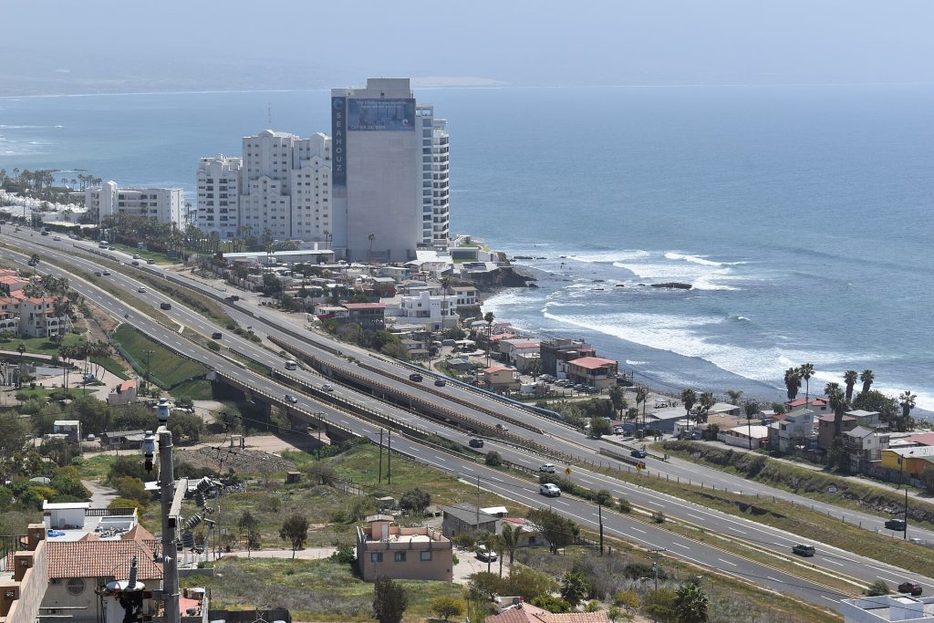
- Free Highway 1 and toll Highway 1D at El Morro, Rosarito. Photo: Josh Lim (Sky Harbor), CC BY-SA 4.0, via Wikimedia Commons
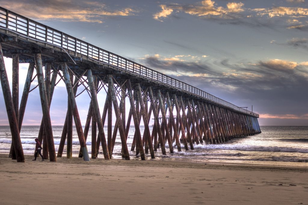
- Rosarito Beach pier at sunset. Photo: Liliana Saeb, CC BY 2.0, via Wikimedia Commons
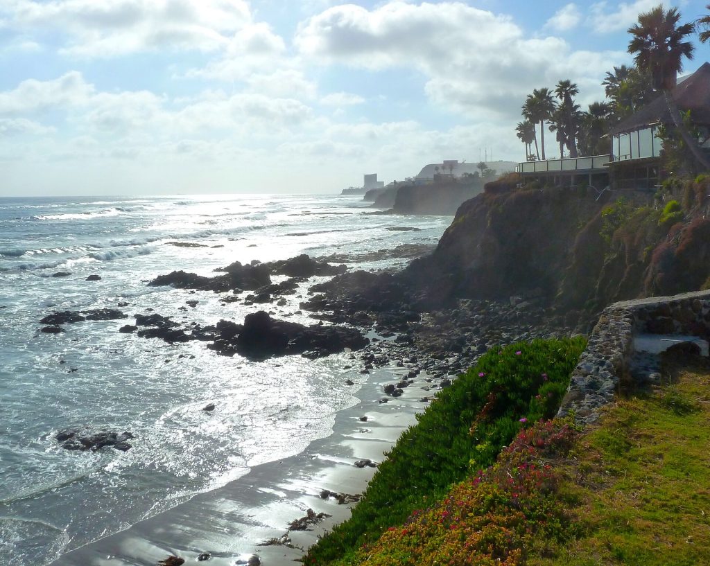
- Rocky coastline near Rosarito. Photo: Miles Gehm from San Jose, USA, CC BY 2.0, via Wikimedia Commons
Checked October 22, 2026 against CAPUFE's 2026 toll schedule, the CRE/CNE fuel station registry, OpenStreetMap routing and Google Maps listings. Businesses open, close and change hands; confirm before you go.