

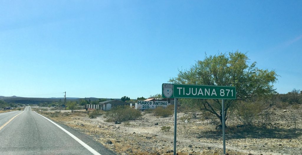
For years we handed drivers the Baja Road Log at our San Ysidro office: a pocket booklet that took you down Mexico Highway 1 from Tijuana to Cabo San Lucas one mile at a time, with every exit, gas stop, mission and motel along the way. A lot has changed on the peninsula since the last printing. This is the 2026 web edition.
Hal Andreoli from our office re-drove the route and marked up the old booklet page by page. We then checked his changes, and everything else on these pages, against current sources: CAPUFE's 2026 toll schedule, Mexico's official fuel station registry, Google Maps listings and this fall's road reports. Each of the 12 legs gets its own page with the classic mile log, 2026 notes, fuel, tolls and places to stop.
Our drive-through office at 223 Via De San Ysidro, San Ysidro, CA 92173 sits at the last exit before the San Ysidro border, and it is open every day from 7:00 AM to 11:00 PM. It makes a good last stop on the U.S. side: pick up your Mexican auto insurance policy, ask us about the road ahead, and take a restroom break before the line.
Get your quote online first and your policy is ready before you get there.
The trip at a glance
A 4-day plan that sticks to daylight: Tijuana to San Quintín (4 to 6 hours, plus the border), San Quintín to Guerrero Negro (the big day, 6.5 to 8 hours), Guerrero Negro to Loreto (5 to 7 hours), then Loreto to Cabo San Lucas through La Paz and Todos Santos (6 to 8 hours).
A 5-day plan with room to stop: the same first two days, then Guerrero Negro to Mulegé, Mulegé to La Paz, and an easy last morning from La Paz to Cabo.
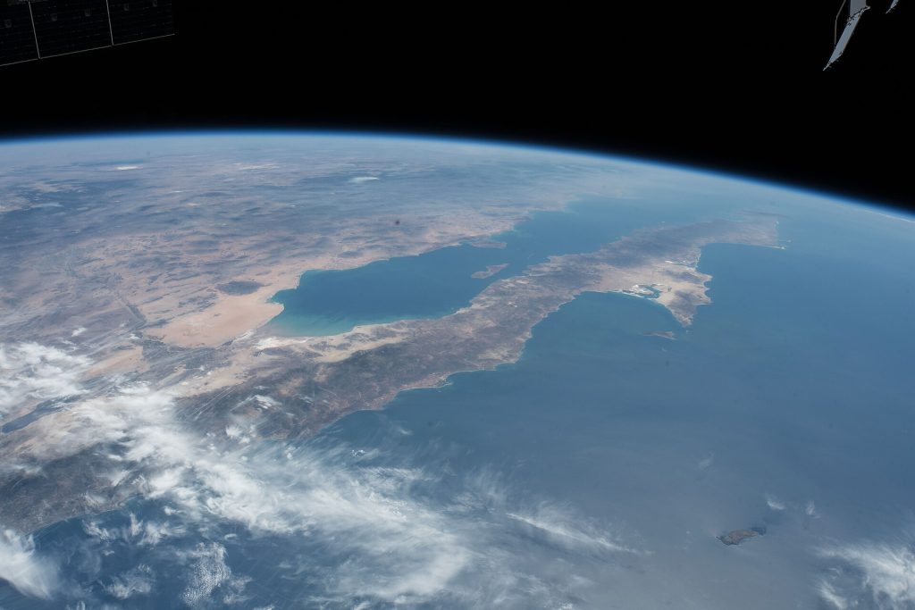
Mile by mile: the 12 legs from Tijuana to Cabo San Lucas
Each leg ends in a town with fuel and a place to sleep. Distances are 2026 routed figures, town center to town center; the booklet column shows what the old edition printed. Drive times are our estimates for a car in daylight.
| Leg | Route | Miles | Km | Drive time | Booklet mi |
|---|---|---|---|---|---|
| 1 | Tijuana (El Chaparral crossing) to Rosarito | 16.7 | 26.9 | 30 to 45 min, plus the border | 21 |
| 2 | Rosarito to Ensenada | 51.1 | 82.3 | 1 to 1.5 h | 49 |
| 3 | Ensenada to San Quintín | 115.1 | 185.3 | 2.5 to 3.5 h | 112 |
| 4 | San Quintín to Guerrero Negro | 263.3 | 423.8 | 6.5 to 8 h | 254 |
| 5 | Guerrero Negro to San Ignacio | 91.8 | 147.7 | 1.75 to 2.5 h | 87 |
| 6 | San Ignacio to Santa Rosalía | 47.0 | 75.7 | 1 to 1.25 h | 44 |
| 7 | Santa Rosalía to Mulegé | 39.2 | 63.0 | 45 min to 1 h | 37 |
| 8 | Mulegé to Loreto (Bahía Concepción) | 83.4 | 134.1 | 1.5 to 2 h | 82 |
| 9 | Loreto to Ciudad Constitución | 92.6 | 149.0 | 1.75 to 2.25 h | 88 |
| 10 | Ciudad Constitución to La Paz | 129.8 | 209.0 | 2.25 to 3 h | 127 |
| 11 | La Paz to San José del Cabo (East Cape, Hwy 1) | 114.8 | 184.7 | 2.25 to 3 h | 112 |
| 12 | San José del Cabo to Cabo San Lucas | 20.2 | 32.5 | 30 to 45 min | 19 |
| Whole run, Tijuana to Cabo San Lucas | about 1,011 | about 1,627 | 20 to 26 h | 1,032 |
Distances from OpenStreetMap routing (OSRM), checked October 22, 2026. Google's own whole-route figure is 1,052 miles. The booklet's branch routes (Highway 3, Highway 5, Highway 19, La Bufadora and Bahía de los Ángeles) are in Side trips below.
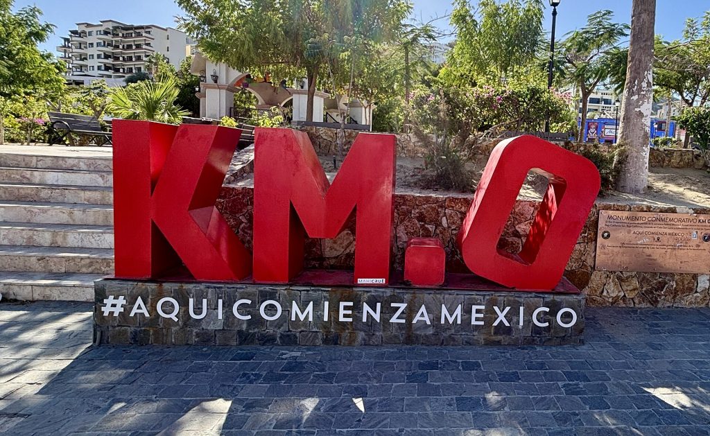
Mexican roadside posts count kilometers, not miles, and they restart several times: at Ensenada, just south of San Quintín, at the Bahía de los Ángeles junction and again in Baja California Sur. South of the state line the posts count down, so a southbound driver watches the numbers fall until Cabo San Lucas, where the KM 0 monument stands by the marina. Posts go missing, so read every km in this log as "around km X".
Route map: the 12 legs
The red line is Highway 1 from the El Chaparral crossing to Cabo San Lucas, with each leg's end point numbered. The dashed black stretch is the 199-mile fuel gap between El Rosario and Villa Jesús María. Small dots are registered fuel stations (green with diesel). Tap a marker for its leg page.
Map data © OpenStreetMap contributors. Route from OpenStreetMap routing; fuel stations from Mexico's CRE/CNE registry, October 2026. For turn-by-turn directions use the Google Maps link on each leg page.
What has changed since the last edition
- Highway 5 is paved through to Highway 1. The road south from San Felipe past Puertecitos and Gonzaga Bay now meets Highway 1 at Laguna Chapala, so there is a paved loop down the Sea of Cortez side. It joins Highway 1 in the middle of the longest fuel gap, so fill up at Gonzaga Bay.
- Highway 19 is four lanes from La Paz to Cabo San Lucas through Todos Santos, and it is toll-free. At about 158 km it is now the quicker way to Cabo San Lucas. The old East Cape route on Highway 1 (about 185 km) still leads to San José del Cabo.
- Los Cabos has a toll road. Highway 1D links the airport, San José del Cabo and Cabo San Lucas alongside the free tourist corridor.
- The Scenic Road fell in at km 93. Early on December 28, 2013, a stretch of the Tijuana-Ensenada toll road near Salsipuedes sank. It took about a year to restore, and slides have closed the same area since. Check road reports after heavy rain.
- The time change at the state line is now winter only. Baja California still follows U.S.-style daylight saving time. Baja California Sur has stayed on Mountain Standard Time all year since October 30, 2022. From early November to mid-March, set your clock forward one hour when you cross into Baja California Sur; the rest of the year there is no change.
- Gas is no longer just Pemex. Mexico opened fuel retail to other brands in 2017, so stations and prices vary. The old booklet's list of Pemex stops no longer matches the road, but the big gap at Cataviña is still there.
- Southbound Tijuana traffic now enters at El Chaparral, where the INM immigration office issues your FMM.
- The FMT is now the FMM. The old booklet called the tourist permit an FMT. Same idea, new name and new rules.
- Hurricane Polo (September 28 to 29, 2026) cut Highway 1 in Mulegé municipality: an arroyo flood at km 157 between Santa Rosalía and Mulegé and damage near Palo Verde. Local reports said traffic was moving again within about a day (Zeta, Sept. 29). Landslides and debris were also reported at km 88+500 and 92+500 (Mulegé to Loreto) and km 100+500 and 102 (Loreto to Ciudad Insurgentes).
- The latest report we found (Meganoticias, Oct. 12, citing SICT): the Palo Verde crossing (around km 150) is passable on a provisional fill while a permanent fix is designed, work continues near km 100, the Ciudad Constitución to Ciudad Insurgentes rebuild was 85% done, and there are potholes between the Los Cabos airport and San José del Cabo. We found no newer official update as of October 22.
- Storm Rachel (around October 10 to 11, 2026) flooded parts of Ensenada and San Felipe and caused wind damage in San Quintín. As of October 22 we found no report of Highway 1 still closed; a bridge in the area (Puente Oaxaca) is being rebuilt with traffic on alternate streets (El Imparcial, Oct. 19).
- Check before you go: road alerts from SICT and CAPUFE, ask at your hotel, or call 078 (24-hour tourist assistance). Never drive into moving water at an arroyo crossing.
Fuel: the long gaps
Gas is easy to find from Tijuana to San Quintín and around every big town. The trouble is in between. These are the longest stretches with no registered station on the road, from Mexico's official station registry (October 2026):
| Highway | Last station | Next station | Gap |
|---|---|---|---|
| Hwy 1 | El Rosario | Villa Jesús María (north of Guerrero Negro) | 199 mi / 320 km |
| Hwy 1 | Ciudad Constitución | La Paz (one station near El Cien splits it) | 118 mi / 190 km |
| Hwy 5 | South of Mexicali | Hwy 3 junction near San Felipe | 92 mi / 148 km |
| Hwy 1 | Mulegé | Loreto (nothing on Bahía Concepción) | 81 mi / 130 km |
| Hwy 1 | Loreto | Ciudad Insurgentes (over the Sierra de la Giganta) | 73 mi / 118 km |
| Hwy 3 | Valle de Trinidad | Hwy 5 junction near San Felipe | 71 mi / 114 km |
| Hwy 5 | San Felipe | Gonzaga Bay (if the Puertecitos station is shut) | up to 95 mi / 153 km |
- South of Ensenada, never pass a station with less than half a tank.
- Fill up in El Rosario. There is no registered station at Cataviña or at the Bahía de los Ángeles junction. People sell gas from barrels at Cataviña, at a premium and of unknown quality.
- Coming down Highway 5, fill up at Gonzaga Bay before you join Highway 1.
- Regular was about 24 pesos a liter (about $4.90 a gallon) along Highway 1 in October 2026. Stations are full-service; carry pesos and tip a few.
More on paying, tipping and avoiding pump scams in our guide to gas stations in Baja.
Tolls in 2026
Highway 1 has tolls only at the two ends: the Scenic Road between Tijuana and Ensenada, and the Los Cabos toll road. Everything in between is free. Car rates in pesos, from the CAPUFE schedule in effect since April 13, 2026:
| Toll booth | Section | Car (MXN) | About (USD) | Motorcycle (MXN) |
|---|---|---|---|---|
| Playas de Tijuana | Tijuana to Rosarito | 50 | $2.70 | 25 |
| Rosarito | Rosarito to La Misión | 49 | $2.65 | 24 |
| Ensenada (San Miguel) | La Misión to Ensenada | 53 | $2.85 | 26 |
| Tijuana to Ensenada | 3 booths | 152 | $8.20 | 76 |
| Los Cabos toll road | San José del Cabo to Cabo San Lucas | 93 | $5.05 | |
| Los Cabos toll road | Airport to Cabo San Lucas | 118 | $6.40 |
USD at 18.5 pesos to the dollar. Trailers pay extra per axle. Highways 3, 5 and 19 have no toll booths. Pay in pesos. CAPUFE's official 2026 rate sheet (PDF). Toll road or free road? See toll roads vs free roads in Baja.
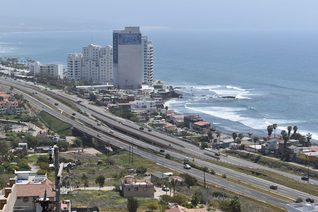
Side trips off Highway 1
The old booklet logged five branch routes alongside the main run. They are still some of the best driving in Baja:
- Tecate and Valle de Guadalupe (Highway 3). Cross at Tecate and drive about 43 miles south through the wine country to Francisco Zarco, then on to Ensenada (about 68 miles in all). Highway 3 has no toll booths; the Tijuana-Tecate toll road to get there is 168 pesos. See the Tecate crossing and Valle de Guadalupe from San Diego.
- Puerto Nuevo. The lobster village just south of Rosarito, on the free road. Puerto Nuevo day trip.
- La Bufadora. From Maneadero, south of Ensenada, BCN 23 runs about 14 miles out the Punta Banda peninsula to the blowhole. It is covered in our Ensenada road trip guide.
- San Felipe and Highway 5. Ensenada to San Felipe on Highway 3 is about 153 miles; Mexicali to San Felipe on Highway 5 is about 125. Highway 5 is now paved south past Puertecitos and Gonzaga Bay to Highway 1 at Laguna Chapala, about 130 miles from San Felipe. Fill up at Gonzaga Bay. San Diego to San Felipe and the Mexicali crossing.
- Bahía de los Ángeles. Highway 12 leaves Highway 1 at the Punta Prieta junction and runs about 68 km (42 miles) east to the Sea of Cortez. The town has fuel; the junction does not. Driving to Bahía de los Ángeles.
- Todos Santos and Highway 19. The four-lane Pacific route from La Paz to Cabo San Lucas: about 51 miles to Todos Santos and 47 more to Cabo. It is covered on Leg 11.
The papers you need
- FMM tourist permit for everyone in the car. Anyone driving to Cabo needs one. Get it at the INM office at the crossing, or through the official INM website; skip the look-alike sites that charge a "processing" fee. How the FMM works.
- Mexican auto insurance. Mexican federal law requires liability insurance to drive on federal highways, and your U.S. policy does not count as Mexican liability cover. In 2025 Baja California Sur stepped up highway inspections that check for insurance valid in that state.
- No vehicle import permit (TIP) on the peninsula. You can drive all of Baja California and Baja California Sur without one. You need a TIP only if you put the vehicle on a ferry to mainland Mexico from La Paz or Santa Rosalía. TIP rules for Baja.
- Your passport, driver's license and vehicle registration. Check our full packing and documents list.
More for the road: road signs and speed limits, military checkpoints, the Green Angels roadside help and money tips for a Baja road trip.
All 12 legs, the fuel gaps, the toll table and a Spanish phrase list in one file you can print or keep on your phone for the stretches with no signal. Tell us where to send it.
Mexican auto insurance is required on Baja's federal highways. Get a quote online in minutes and pick the exact days you will be in Mexico.
Frequently asked questions
How long is the drive from Tijuana to Cabo San Lucas?
About 1,010 to 1,050 miles (1,630 to 1,690 km) on Highway 1, which works out to roughly 20 to 26 hours of driving. Google puts the whole route at about 19.5 hours; with topes, trucks and fuel stops, most people take longer.
How many days do you need to drive Baja to Cabo?
Plan four days if you drive in daylight only, five if you want time to stop. Three days is possible, but it means driving more than 8 hours a day, and the San Quintín to Guerrero Negro leg alone takes 6.5 to 8 hours.
Is it safe to drive Mexico Highway 1 in 2026?
Many U.S. drivers make the trip every year. The main risks are the road itself: no shoulders, livestock, potholes, storm damage and long stretches with no cell signal. Drive in daylight, keep your tank above half, check road reports after storms, and read the current U.S. State Department advisory for Baja California and Baja California Sur before you go.
Do I need a vehicle permit (TIP) to drive to Cabo?
No. A temporary import permit is not required anywhere on the Baja peninsula. You need one only if you take your vehicle on a ferry to mainland Mexico from La Paz or Santa Rosalía. Everyone in the car does need an FMM tourist permit.
What insurance do I need to drive in Baja?
A Mexican auto insurance policy with liability coverage. Mexican federal law requires liability insurance on federal highways, and a U.S. policy does not meet it. Baja California Sur highway inspections also check for insurance valid in that state.
What is the longest stretch without gas in Baja?
El Rosario to Villa Jesús María on Highway 1: about 199 miles (320 km) with no registered station. There is no station at Cataviña. Fill up in El Rosario.
Why shouldn't you drive at night in Baja?
Cattle and other animals stand on the road, potholes and topes are hard to see, and Highway 1 is mostly a narrow two-lane road with no shoulder. Help is also far away on the empty stretches. Plan each day to arrive before dark.
Is there a time change when you drive into Baja California Sur?
Only in winter. From early November to mid-March, Baja California Sur is one hour ahead of Baja California, so set your clock forward at the state line near Guerrero Negro. The rest of the year both states are on the same time.
Photo credits
- Mexico Highway 1 distance sign near San Ignacio. Photo: Elnogalense, CC BY-SA 4.0, via Wikimedia Commons
- Northern Baja California seen from the ISS. Photo: NASA, Public domain, via Wikimedia Commons
- Free Highway 1 and toll Highway 1D at El Morro, Rosarito. Photo: Josh Lim (Sky Harbor), CC BY-SA 4.0, via Wikimedia Commons
- KM 0 monument in Cabo San Lucas. Photo: Alexis Doine, CC0, via Wikimedia Commons
Facts checked October 22, 2026. Sources include CAPUFE (2026 tolls), the CRE/CNE fuel station registry, OpenStreetMap routing, Google Maps, Mexico's Ley de Caminos, Puentes y Autotransporte Federal, and regional news reports on Hurricane Polo and Storm Rachel. Road conditions change; always check before you drive.